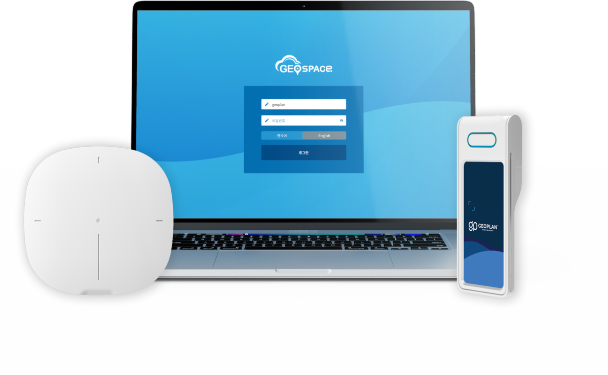
Geoplan RTLS Products

Explore Geoplan’s RTLS products and learn more
about how Real Time Location System work

GeoPlan's RTLS platform
starts at the hardware stage

GeoPlan UWB Real Time Location System (RTLS) has diversified with the lineup of products such as locators and tags to propose customized solutions based on site size and project type, and continues to develop and upgrade location engine platforms to provide a highly accurate location data.

Intelligence Indoor Technology
GEOPLAN RTLS Products

Hardware Locator

Hardware Tags

Hardware ESL Tags

UWB Module

Software Location Engine

Hardware

Utilize various RTLS hardware according to the project

UWB 로케이터

UWB locator for indoor position system

In RTLS, a locator is a device that detects a signal from a UWB tag and passes it to a position server to calculate the position of the tag.
To implement a particular space to be positioned indoors, a series of locators must be installed within that space to create an RTLS environment.
This environment for asset tracking, forklift monitoring, logistics flow or employee tracking can be established, and by adding locators and tags to the deployed infrastructure make it easier to use as the space expands. Depending on the shape of the space and the different needs of the project, a combination of locators and tags can be customized to satisfy the demand of the site.

Attachment Tag

Attachment Tag

Built for easy installation in a wide range of industrial environments, the universal tag incorporates a solid exterior casing and long-life battery, allowing real-time tracking of all objects, including indoor assets, vehicles and people. In addition to collision detection, position identification improves productivity and efficiency through route planning and position-based task management.

Personal Portable Tag

Personal Portable Tag

The tag is operated using a small coin battery and is a lightweight tag that can be carried by an individual which is used for real-time position identification and tracking. Emergency buttons are present for safety and motion detection sensors allow calls for assistance in emergency situations.

G-Pixel

Electronic Shelf Label Tag
G-Pixel

G-Pixel is a tag that combines positioning technology and an electronic indicator.

It is used in place of paper price tags in stores and provides position signals as well as various information such as price, inventory and product information. Tags that only provide simple position data meet an information display function, allowing the visualization and displaying of various information, including items, prices, quantity, inventory status, work instructions and advertisements in real-time.

UWB Module

Compact UWB application development module

The UWB module in the Geoplan is based on the NXP chip. It contains ultra-wideband transceivers and IoT security elements, and it is designed to integrate antennas and circuits into one module. It can be used as distance measurement applications for development in IoT environments.

previous arrowprevious arrow
next arrownext arrow

Geospace is all-in-one software for establishing UWB real-time location systems. 

Geospace allow users to control RTLS projects and manage RTLS platforms. 
Position data of people and assets are collected by the Geospace position engine,
and the information can be used to extend service areas such as user position-based applications.

High performance, RTLS Location Engine

Super-precise UWB position tracking

Enables both precise 30cm UWB and long-distance position tracking applications.

Outstanding performance and project scalability

Provides high accuracy and high reliability to help industrial facilities and others track hundreds of targets and assets simultaneously for large-scale RTLS execution and deployment.

Real-time Location Data

Collects and monitors real-time position and sensor data of people and assets in the project environment.

Fluid communication

Time Difference of Arrival (TDoA) position and real-time sensor data enable sensor convergence between IoT platforms and custom applications. It is an end-to-end service that enables two-way tag communication, from data collection to tag functionality.

Fully Integrate

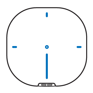
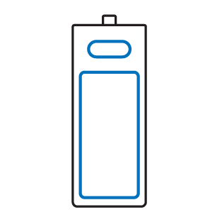
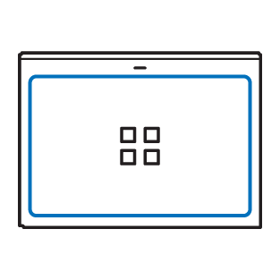
It supports RESTful API interface for seamless integration with external IoT platforms and systems. The RESTful API architecture enables simple, standardized management of engines and connected infrastructure of IoT devices, anchors, tags and sensors.

Discover the powerful features of Geospace

RTLS Configuration

A web-based RTLS configuration tool

for cell setup, algorithms
and position correction.

Object Management Plan

Create and manage

changes to the space,

objects, background images,

fixed objects and workspace
included in the project.

Hardware Management /
Software Upgrade

View and change settings of 

hardware information

required for indoor positioning.

External & API

Supports a wide array of APIs 

including web/MAP
standard API packages.

Geoplan provides a full set of RTLS products and solutions for various application scenarios
like healthcare, logistics & warehouse, manufacturing, smart retail, smart buildings, etc.
Geoplan RTLS solutions can make your business

faster, simpler, and more efficient.

The future of Real time location system Geoplan UWB Technology

Smart Building Access

Navigation

Proximity Marketing

Hands Free Payment

Secure Acess Control

Data Collect & Analysis

Let's Talk

Phone: +82 31-689-5541
Email:
#622/623 SKV1, 142, LS-daero, Dongan-gu, Anyang-si, Gyeonggi-do
Your Need
Your Interest
Inquiry

Thank you

We sent you welcome letter.

Check your mailbox.